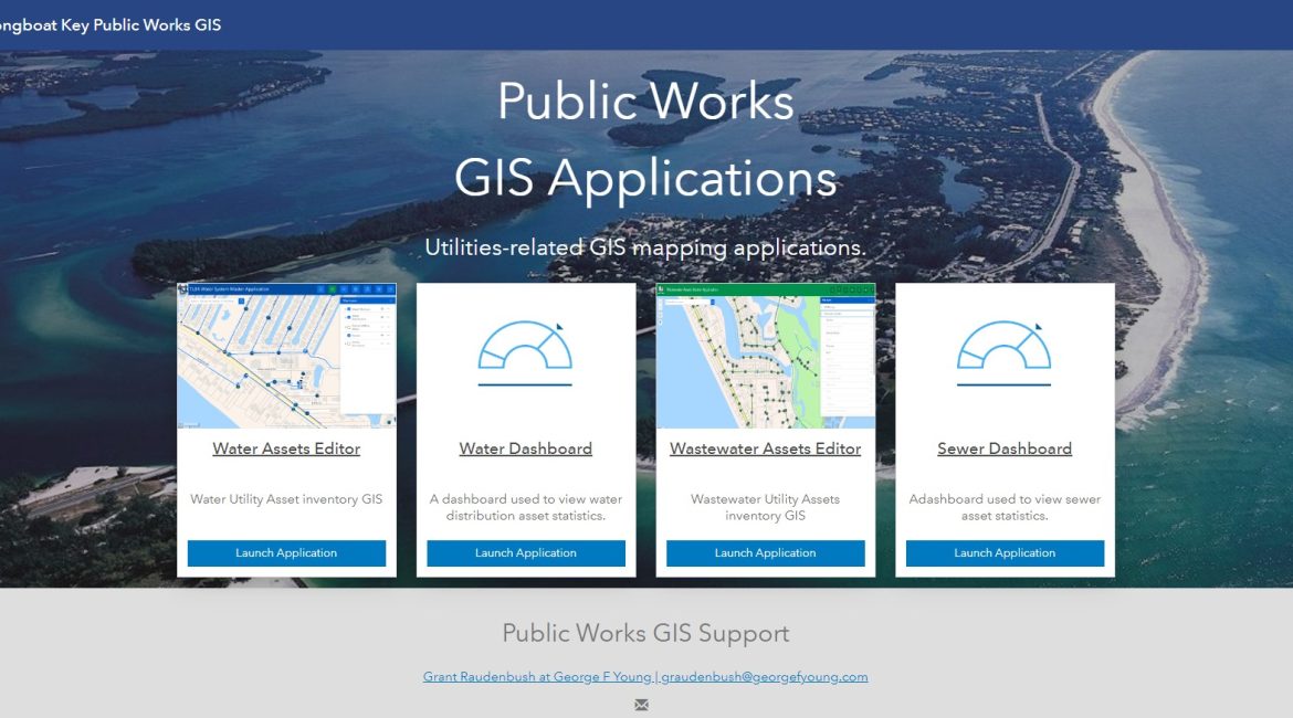
Project Details
The Town of Longboat Key is a small coastal town spanning ten miles along the Southwest coast of Florida. Longboat Key straddles both Sarasota and Manatee Counties and has a Native American history dating back before the 1800s when Cuban and Spanish fishermen first called it home. Coastal communities like this enjoy tourism while watching cautiously for gulf-water hurricanes and are always focused on providing and maintaining necessary utility services to their citizens. This small town manages typical public works assets and their own water and wastewater utilities.
To help them focus on their utilities, GISaaS serves as the city’s GIS department, managing Water and Wastewater GIS layers, maps and applications that serve the city’s administration, operations, and help them manage the utility infrastructure necessary to serve their residents. This management includes hosting the town’s GIS on our dedicated cloud based GIS server, and managing the town’s ArcGIS Online portal.
The keys to the success of this GIS effort are the cooperative workflow between the city’s operational staff and our GIS. Utility operations staff use provided web and mobile-based markup tools to identify and communicate infrastructure changes that need to be made to the GIS to match ongoing improvement and maintenance efforts on the ground. GISaaS performs GIS edits from these markups, and provided engineering plans and surveys, to keep the GIS current. This, then, provides a single point of reference for operations and administration to understand their utilities, and public works infrastructure.
Professional Services Provided
Project Manager
David Barry

