Project Details
The City of Newberry is one of the fastest growing cities in Florida, repeatedly winning acclamations for their municipal utility’s excellence. A population close to 7500 and 60 square miles of agriculturally focused commercial, recreational, and residential properties. Newberry is a small-town with explosive growth who manages their own Electric, Water, and Wastewater utilities, as well as public works and planning. In recent efforts the city has implemented an Automated Metering Infrastructure (AMI) and is expanding their Wastewater treatment capabilities.
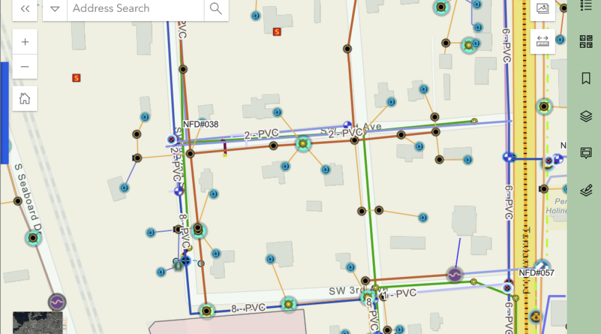
To help them focus on their utilities, GISaaS acts as the city’s GIS department, managing a vast array of GIS layers, maps and applications that serve the city’s administration, operations, and help them manage the persistent influx of new residential and commercial development efforts. This management includes hosting the town’s GIS on our dedicated cloud-based GIS server, and managing the town’s ArcGIS Online portal, as well as integrations with the AMI system, and providing maps and data to developers and contractors working on behalf of the city.
The keys to the success of this GIS effort are the cooperative workflow between the city’s operational staff and our GIS. Utility operations staff use provided web and mobile-based markup tools to identify and communicate infrastructure changes that need to be made to the GIS to match ongoing improvement and maintenance efforts on the ground. GISaaS performs GIS edits from these markups, and provided engineering plans and surveys, to keep the GIS current. This, then, provides a single point of reference for operations and administration to understand their utilities, and public works infrastructure.

